Mountainbike-Touren in Röthenbach/Allgäu
In Kooperation mit:
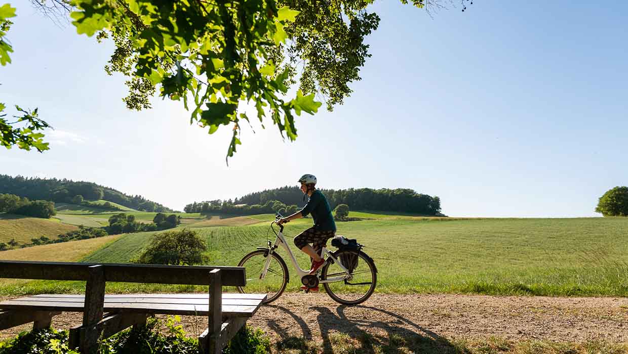
 3 Bilder
 Balderschwang
MTB - Abendtour SpicherhaldeRadfahrenMittel
8,1 km
2:00
430 m
430 m
Quelle: HUBERTUS Mountain Refugio Allgäu
 1 Bilder
 Balderschwang
HIKE & BIKE Schaukäserei GerisgschwendRadfahrenLeicht
10,4 km
1:05
167 m
167 m
Quelle: HUBERTUS Mountain Refugio Allgäu
1 Bilder Ofterschwang
Wittelsbacher Höhe / Mini-MTB-Trail (1-1,5h)RadfahrenLeicht
11,4 km
1:10
132 m
133 m
Quelle: Sonnenalp Resort • Spa • Golf
 1 Bilder
 Ofterschwang
Weltcuphütte / Ofterschwanger HornRadfahrenLeicht
15,2 km
1:30
628 m
627 m
Quelle: Sonnenalp Resort • Spa • Golf
 2 Bilder
 Oberstaufen
Rund um die Kalzhofer HöheRadfahrenMittel
15,7 km
1:45
299 m
299 m
Quelle: Oberstaufen Tourismus Marketing GmbH
 3 Bilder
 Oberstaufen
Um's ParadiesRadfahrenMittel
15,8 km
1:50
328 m
328 m
Quelle: Oberstaufen Tourismus Marketing GmbH
1 Bilder 1 Bilder Balderschwang
HIKE & BIKE Feuerstätter Kopf (1.645m) Schwierigkeit MittelRadfahrenMittel
16,5 km
3:00
835 m
830 m
Quelle: HUBERTUS Mountain Refugio Allgäu
 7 Bilder
 Oberstaufen
Rund um den ImbergRadfahrenMittel
16,6 km
2:30
647 m
647 m
Quelle: Oberstaufen Tourismus Marketing GmbH
 3 Bilder
 Immenstadt i. Allgäu
Rund ums Immenstädter HornRadfahrenMittel
16,6 km
2:55
691 m
690 m
Quelle: Naturbiken Allgäu/Tirol
 1 Bilder
 Ofterschwang
Ums Ofterschwanger HornRadfahrenLeicht
16,6 km
6:21
740 m
740 m
Quelle: Sonnenalp Resort • Spa • Golf
 13 Bilder
 Immenstadt i. Allgäu
Alpseeblick HöhentourRadfahren
17,3 km
2:15
403 m
403 m
Quelle: Naturbiken Allgäu/Tirol
 3 Bilder
 Immenstadt i. Allgäu
Naturbiken: Alpseeblick HöhentourRadfahrenLeicht
17,5 km
2:15
395 m
395 m
Quelle: Tourenportal Oberallgäu
 1 Bilder
 Stiefenhofen
Rundweg zur KönigsalpeRadfahrenLeicht
18,6 km
2:10
399 m
399 m
Quelle: Allgäuer Rosenalp GmbH & Co. KG
 4 Bilder
 Immenstadt i. Allgäu
Kulinarische Genusstour durch das SteigbachtalRadfahrenMittel
18,7 km
3:25
865 m
865 m
Quelle: Tourenportal Oberallgäu
 1 Bilder
 Ofterschwang
Sonthofener HörnleRadfahrenMittel
19,6 km
2:50
680 m
680 m
Quelle: Sonnenalp Resort • Spa • Golf
 1 Bilder
 Stiefenhofen
Um Kalzhofener Höhe und Sinswanger MoorRadfahren
19,9 km
2:45
352 m
352 m
Quelle: Allgäu GmbH, Gesellschaft für Standort und Tourismus
 4 Bilder
 Oberstaufen
Steibinger GenusstourRadfahrenMittel
20,2 km
2:50
542 m
542 m
Quelle: Oberstaufen Tourismus Marketing GmbH
 6 Bilder
 Balderschwang
MTB - Talboden RundeRadfahrenLeicht
20,4 km
2:30
330 m
330 m
Quelle: HUBERTUS Mountain Refugio Allgäu
 3 Bilder
 Oberstaufen
Steibinger GenusstourRadfahrenMittel
20,6 km
2:47
578 m
581 m
Quelle: Naturbiken Allgäu/Tirol
20 von 63 Ergebnisse geladen
Weitere Aktivitäten und Touren in Röthenbach/Allgäu


Der meinestadt.de Wochenstart
Lokale Infos aus deiner Umgebung in deine Mailbox.Das Magazin für deine Freizeit
Tipps für Radtouren
In jedem Bundesland gibt es sehenswerte Radstrecken. Entdecke hier die schönsten Radtouren in Deutschland.

meinestadt.de
Redaktion
Spektakuläre Naturwunder
Deutschland strotzt nur so vor spannenden Sehenswürdigkeiten und Naturwundern. Wir haben für dich ein paar dieser Naturspektakel zusammengefasst.
meinestadt.de
Redaktion
 Aktivitäten
Ausflüge mit Kindern
Bei einem Familienausflug könnt ihr viel erleben. Hier gibt es 15 abwechslungsreiche Ideen und Tipps für gutes Wetter, schlechtes Wetter und für den kleinen Geldbeutel.
meinestadt.de
Redaktion
Weitere interessante Themen
Touren & Routen
Freizeit genießen
In deiner Nähe